Rusthall Archaeology Update
15th November 2022
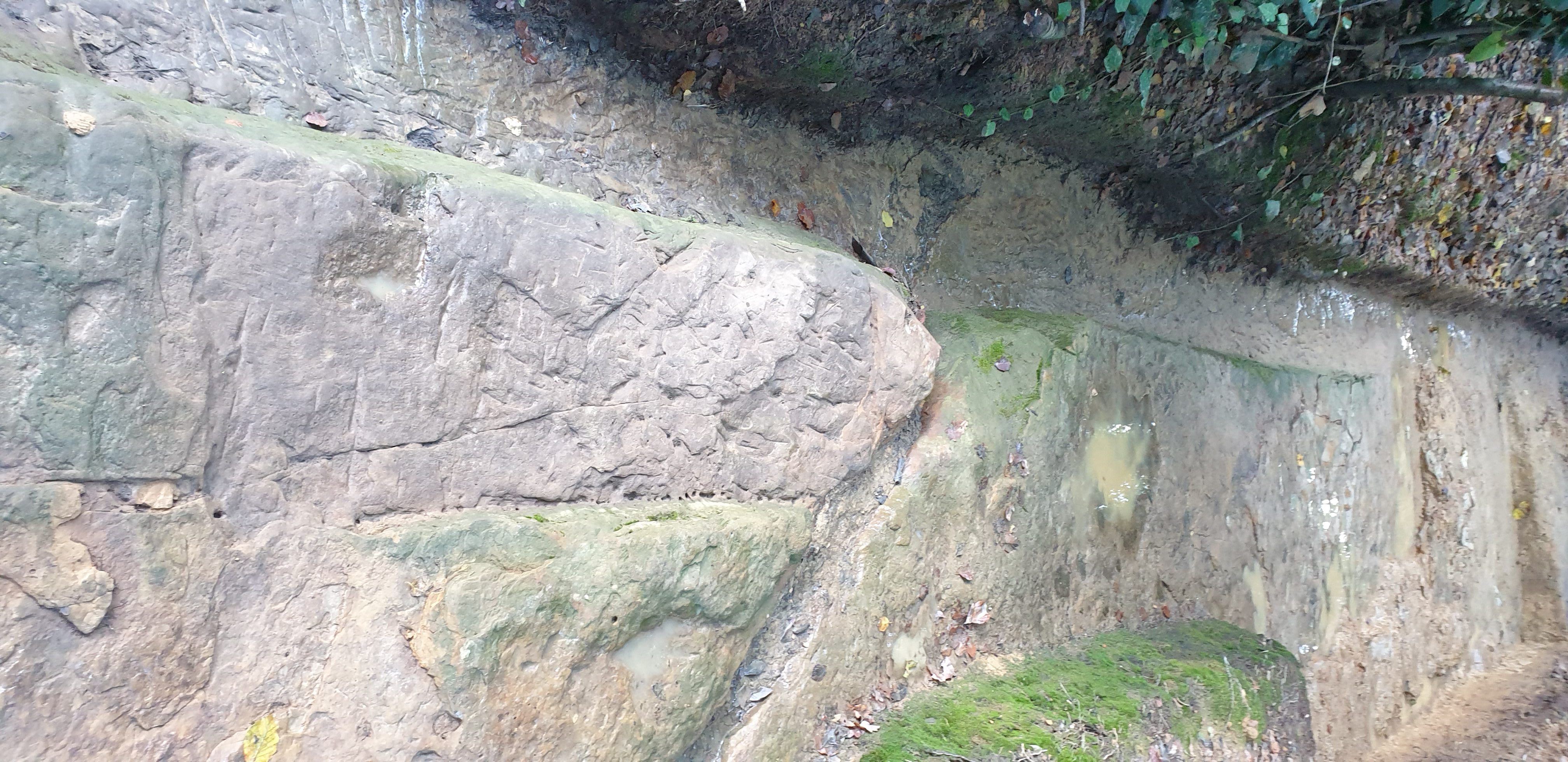
West Kent Community Diggers (WKCD) continue their excellent work on Rusthall Common, with further uncovering of significant archaeological features. More recently an area of complex stonework has now been fully exposed. Interpretation would suggest that a former timber structure was once fixed to the stonework, most likely a series of steps and wooden platforms leading down to the area described as the ‘pond’. The function of the proposed steps is unclear, though the idea of a possible ‘ritual pool’ would seem plausible, given the previously established connection to a possible church or chapel.
Indeed the historical evidence for a former Presbyterian ‘meeting room’, on Rusthall Common, continues to gain credibility, with reference to the original assembly room being ‘brought home from Rusthall to Mount Ephraim’. Indeed it is known that several timber houses were also moved from both Rusthall and Southborough in the 18th century, first to Mount Ephraim and later to Mount Sion, where non-conformist religious meetings certainly continued into the late Victorian period. However it is not known if an even earlier chapel once stood on the area currently being excavated, though stonework does point to foundations of some form of structure including a possible ‘plinth’ where a font might once of stood? Previous advice, from a medieval stone consulted, suggested that some aspects of the exposed stonework appeared the be ’broadly medieval in cutting style’. This was in reference to a stone cut culvert leading to the pond itself. This in turn confirms the channelling of water into the pond and research had previously shown evidence of water worn river gravels along the length of the current footpath alongside the A264 (Langton Road).
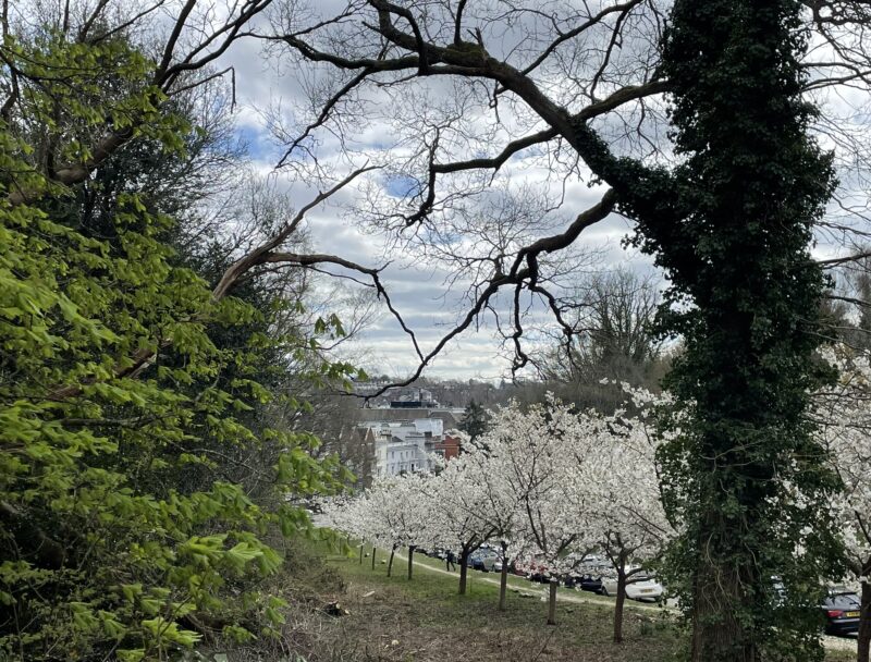
More recently evidence for an in situ ‘palaeochannel’ has also been revealed, leaving little doubt that a free flowing stream once peculated from a yet unknown spring source on Rusthall Common. Of course it is also unknown when the stream stopped flowing, though the site would seem to have been in use as late as the 17th Century. Evidence for such springs is clear on a map dating to 1750 CE and referring to ‘Rok Spring’ on the end of the large promontory (Summer House Hill) of the 8th Green of the nearby Golf Course. The map also shows the symbol for a church or chapel site on the promontory, which may relate to a further incarnation of the proposed Presbyterian assembly or meeting rooms?
Current trench showing both Prehistoric and Medieval features
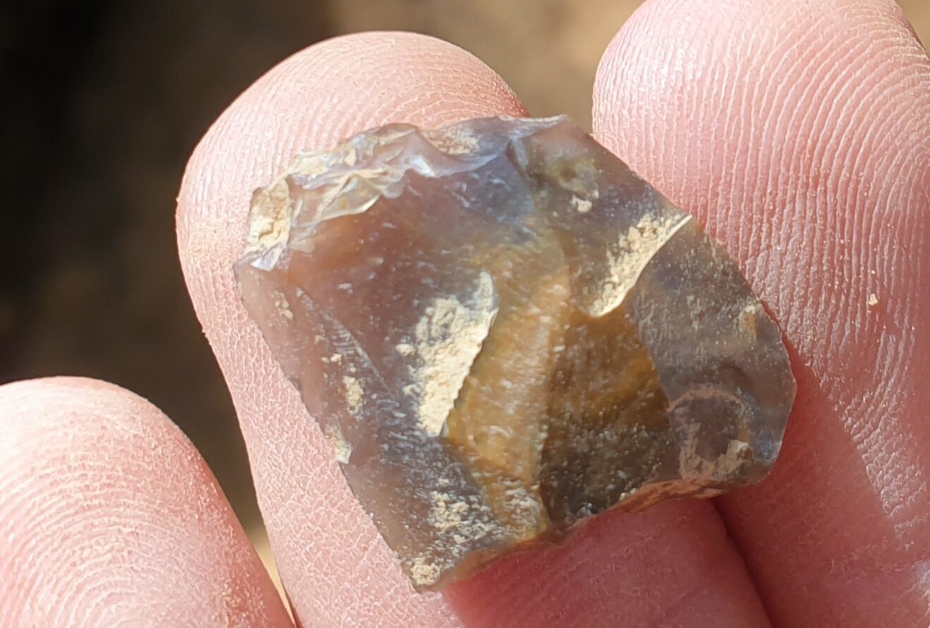
Returning to the proposed palaeochannel (old river bed) evidence for a prehistoric ‘causeway ‘ – an ancient trackway, often traversing particularly wet areas, is starting to grow. Further evidence of a spread of redeposited packed clay and outer bank shows it to abut to the newly exposed palaeochannel. Finds include both local stone tools and imported flint artefacts, including a rather nice small ‘leaf arrowhead’ and perhaps more tellingly the remains of a flint axe! This in turn may well relate to a clear and crudely cut stone surface just below the clay layer. With no evidence of metal tool marks the way in which stone had been removed would seem indicative of a more primitive form of stone cutting. Indeed the flint axe was found next to the stonework itself! Evidence for prehistoric activity has been well and truly established at the Rusthall site so a prehistoric causeway may well be quite plausible.
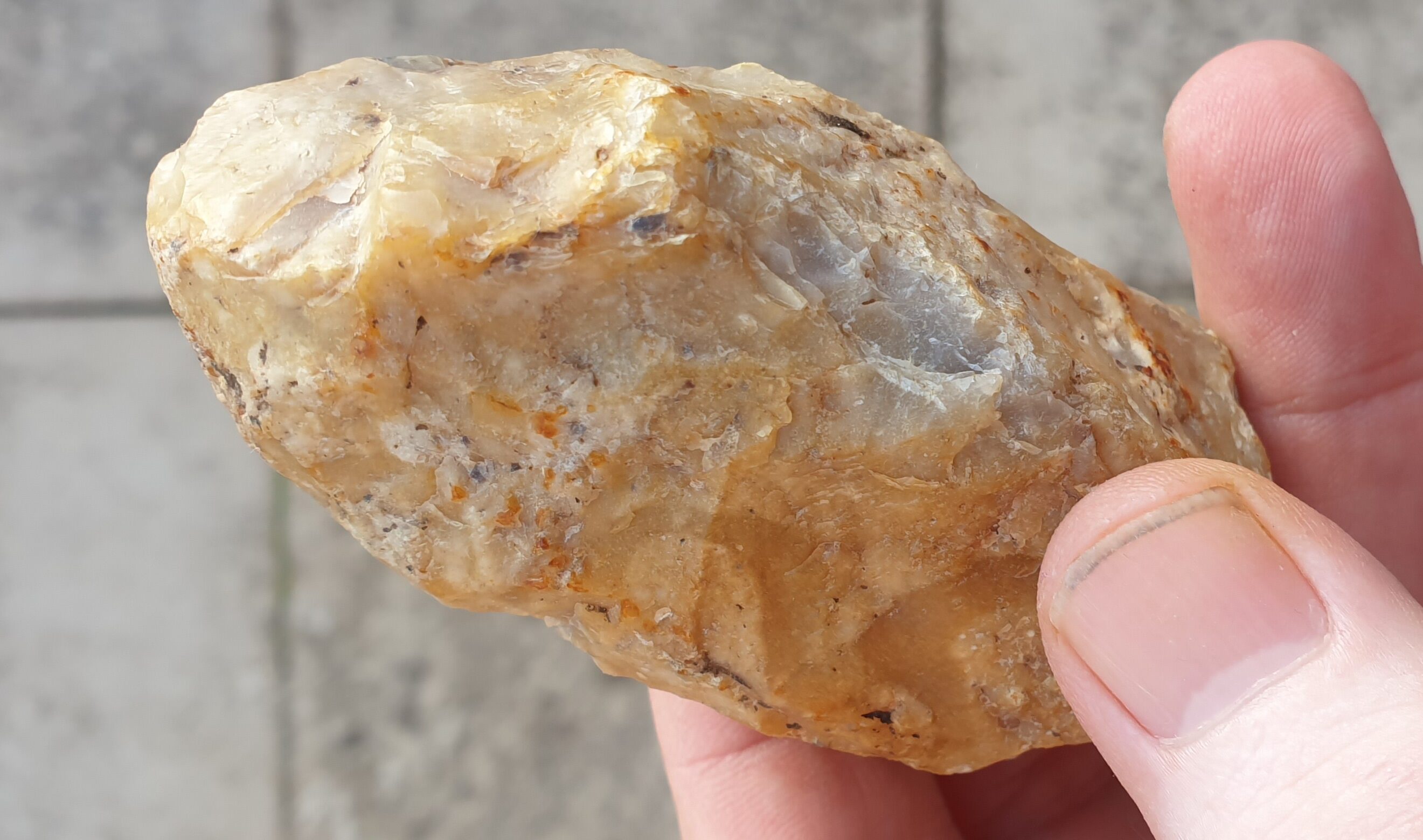
Prehistoric Flint Axe
Small Neolithic Leaf Arrowhead
We are also looking at the possible location of ‘Hares Gate’ shown on 16th Century maps, which may be closer to our site than previously thought. This would likely been a crossing point between two estates (probably Eridge and the former Hungars Hall estate – once likely covering the areas of Rusthall and Langton?).
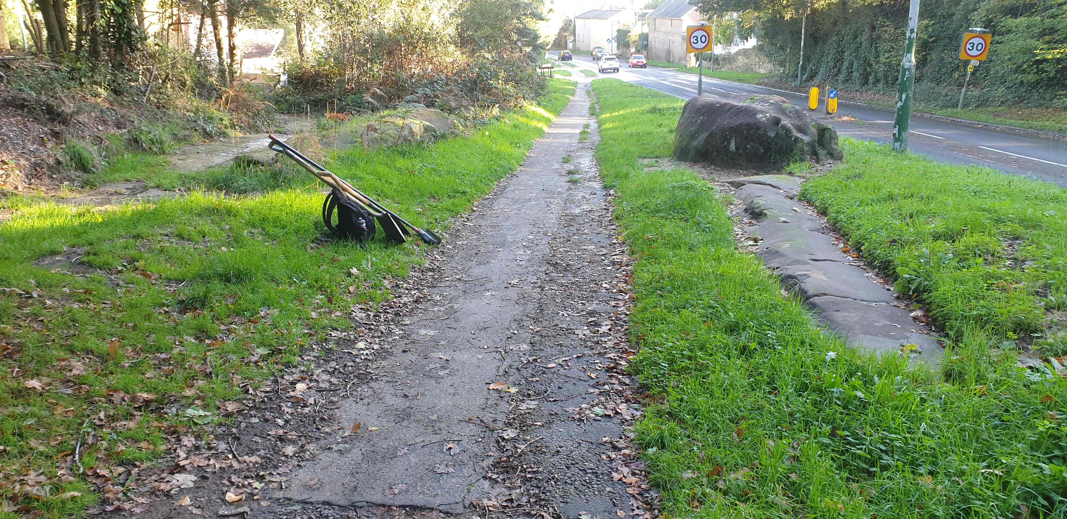
Possible site of ‘Hares Gate’ – Medieval crossing point between two estate (probably Eridge and Hungars Hall – now Rusthall/Langton).
Another area of research is determining the age of the A264 (formally Sandy Lane). Logic would dictate that the former early to mid-Victorian Toll Gate (near Dingely Dell) probably suggests that the section of road that cuts through the bedrock, past Rusthall Place, is relativity ‘new’. Tolls were introduced to fund the construction and maintenance of new roads. If proven this may well suggest that the footpath passing our site was part of the the original -Tarry Path (pronounced Ta-ree) and meaning ‘To continue in a place; remain; stay; sojourn; abide; lodge ‘. This would seem in reference to the original 17th century lodging houses at Rusthall, before the area of the Pantiles was more fully developed. If this is the case then it would seem that the modern path overlays something much older!
The work continues throughout winter and we’re always looking for new volunteers.
Email wkdarchaeology@gmail.com for more info.
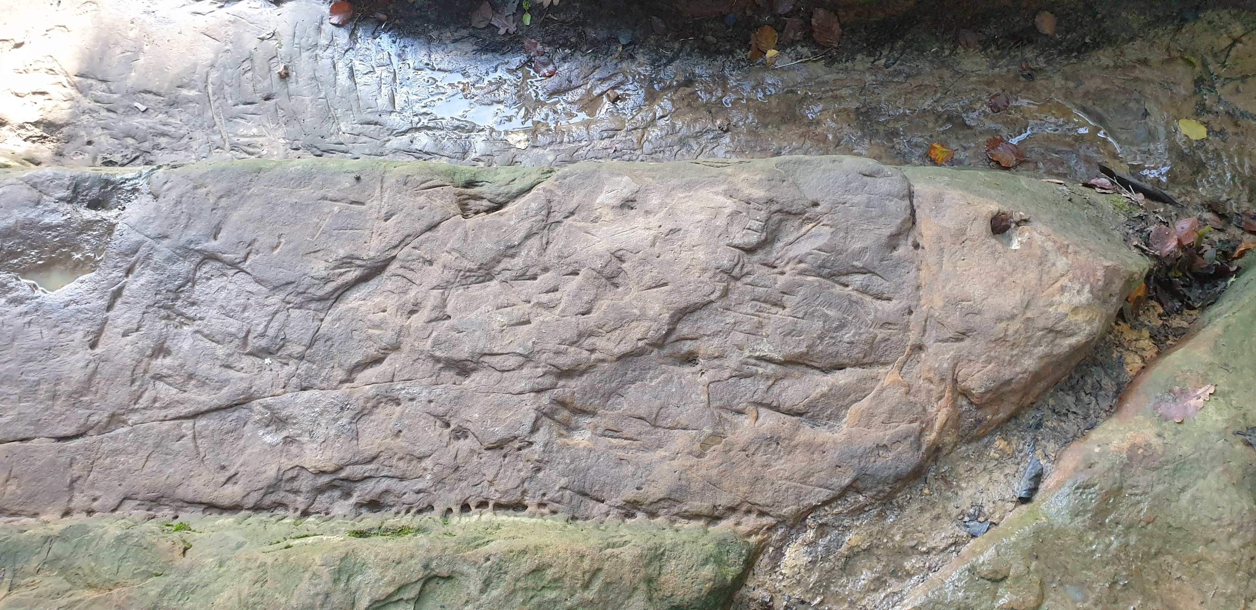
Medieval ‘fish’ carving