Enhanced provision for horses on our path network.
31st August 2023
Hello, my name is Anna Hawkins and I am a Volunteer British Horse Society Access and Bridleways Officer for Tunbridge Wells Borough.
In this second blog, I’m going to tell you about some of the work I do alongside the other Access and Bridleways Officers in Kent. The British Horse Society (BHS), the largest equestrian charity in the UK, has a network of over 300 volunteers working specifically on access in conjunction with a team of paid staff working remotely in their regions with a support team at BHS HQ in Warwickshire.
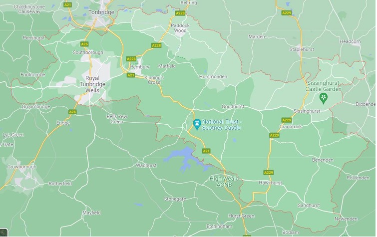
In the visual below, you can see a basic map of the Borough of Tunbridge Wells. It’s a big area and there is a lot to be done to connect the paths where equestrians can safely ride off road.
The BHS collates statistics each year to understand the rate of incidents involving horses and riders on UK roads. During the calendar year of 2022, 3552 road incidents involving horses were reported to the BHS, 68 horses have died and 125 were injured. 139 people were injured because of road incidents. Sadly the picture for 2023 is looking worse.
In some areas the paths are disconnected or absent where they historically once might have been. In some areas the paths are in poor repair or impossible to get to due to unsafe road riding conditions.
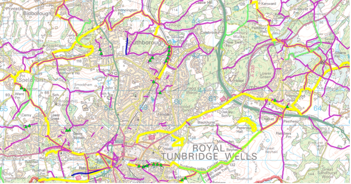
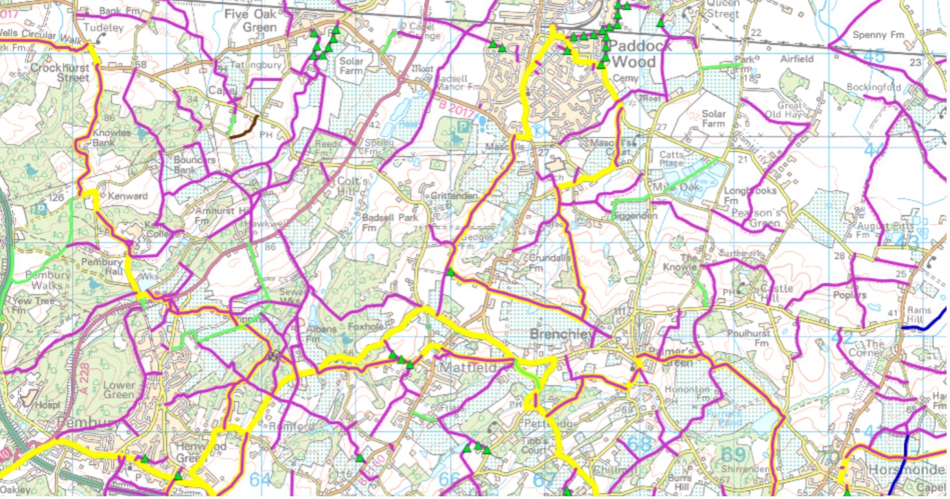
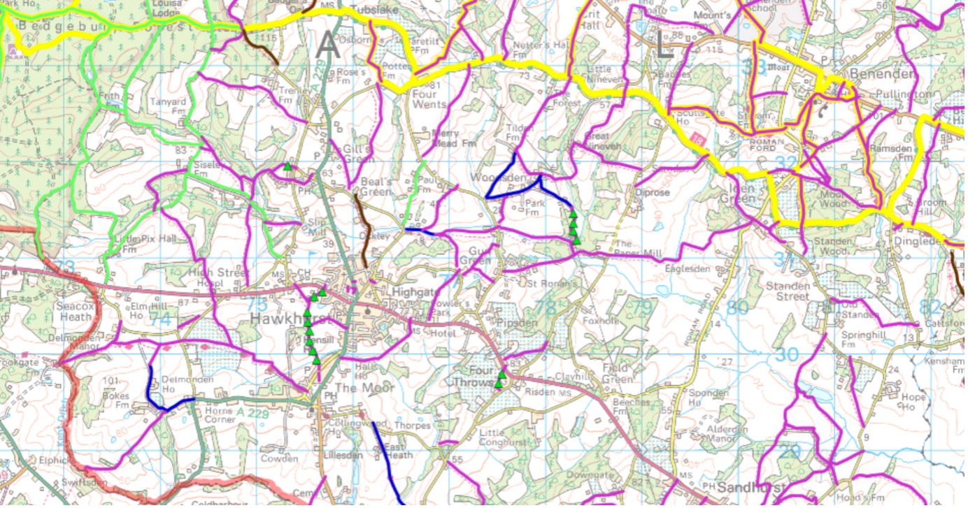
Mapping this area on the Kent County Council public rights of way tool, shows the paths. It’s too big an area to show all on one map, but here are some exerts.
Green is bridleway and note the dark blue restricted byway (for all non-motorised traffic) which crosses the bottom of the Common as well as some others dotted about. Restricted byways are multiuser paths as carriage drivers can use them.
Cyclists can ride on bridleways (and restricted byways) as long as they give way to pedestrians and horse riders.
Over towards the South of Kent, horse riders have more access with a better network of paths in and around Bedgebury Forest. That isn’t to say improvements can’t be made there, more on maintenance of existing paths in a future blog!
The routes simply don’t join up, there are gaps where paths should logically continue. Currently, the way to add paths is for landowners to dedicate them in Common Law or for applications to be made to KCC. These must be based on historical evidence that they were once ridden paths. The evidence required is substantial and the documentation is detailed. There is pressure for these applications to be made as there was legislation introduced at the turn of the Century, outlining a “cut off date” for paths based on historical evidence of 2026. This may be pushed out to 2032 but there is no guarantee of that.
Are there paths in your area which go nowhere? Look at the KCC public rights of way map on their website and drop me a line with the details.
The importance of the access we have to the Tunbridge Wells & Rusthall Commons is highlighted by the issues we face in our Borough. Just in the central area as an example, we are fortunate to have Tunbridge Wells, Rusthall and Southborough Commons where there is a degree of safe off-road riding, wouldn’t it be wonderful if one could ride between the Commons safely to join them up along off-road paths? An aspiration…
If you have any thoughts in response to anything I mention, please do get in touch: